

In today's competitive business landscape, making informed decisions about site selection is crucial for success. One of the most powerful tools available to businesses and organizations for this purpose is 3D map rendering. By providing a realistic and immersive representation of potential locations, 3D map rendering offers a range of benefits that traditional 2D maps simply cannot match. It allows decision-makers to visualize the spatial relationships between different elements, assess the impact of terrain and surrounding infrastructure, and gain a deeper understanding of the overall suitability of a site. This blog post will explore the various ways in which 3D map rendering enhances site selection, enabling businesses to make smarter, more strategic decisions.
Enhanced Visualization and Understanding
Traditional 2D maps can be difficult to interpret, especially for those who are not trained in map reading. 3D map rendering, on the other hand, provides a much more intuitive and accessible way to visualize geographic data. By creating a realistic 3D model of the terrain, buildings, and other features, 3D map rendering allows users to quickly grasp the spatial relationships between different elements. This can be particularly useful for assessing the impact of factors such as topography, viewsheds, and proximity to transportation networks.

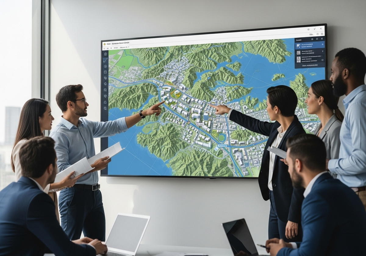
Improved Communication and Collaboration
Site selection often involves a diverse group of stakeholders, including executives, real estate professionals, engineers, and community members. 3D map rendering can serve as a powerful tool for communication and collaboration, allowing all stakeholders to visualize the same information and understand the potential impacts of different site options. By providing a common visual language, 3D map rendering can help to facilitate discussions, resolve conflicts, and build consensus around the best course of action.
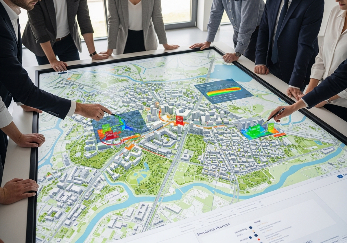
Advanced Analysis and Modeling
In addition to its visualization capabilities, 3D map rendering can also be used for advanced analysis and modeling. For example, it can be used to simulate the impact of proposed developments on the surrounding environment, assess the visibility of signage from different vantage points, or model the flow of traffic through a site. These types of analyses can provide valuable insights that would be difficult or impossible to obtain using traditional 2D maps. Geographic information services play a crucial role in this process, enabling the integration of diverse datasets and the creation of sophisticated models.
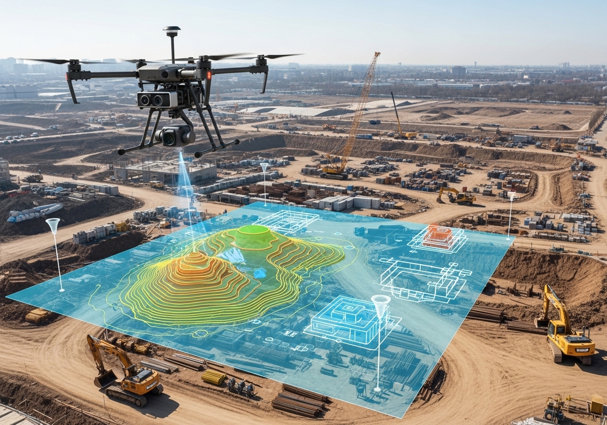
Integration with Drone Mapping Services
The advent of drone mapping services has further enhanced the capabilities of 3D map rendering. Drones equipped with high-resolution cameras and GPS technology can quickly and efficiently capture aerial imagery of potential sites. This imagery can then be used to create highly accurate 3D models, providing a level of detail that was previously unattainable. Drone mapping services can also be used to monitor construction progress, assess environmental impacts, and perform other types of site assessments. Geographic information system mapping is often used to process data collected by drones.
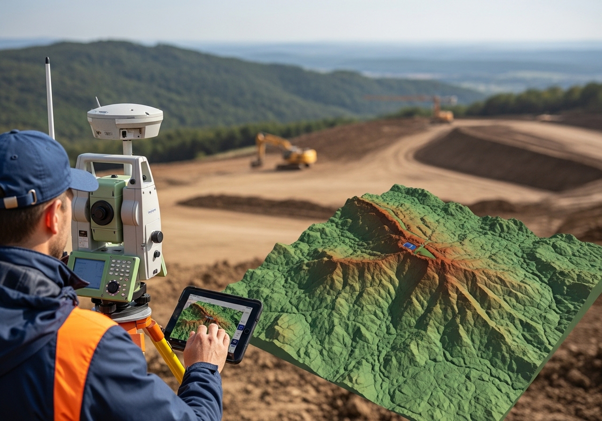
Terrain Modeling and Its Importance
Terrain modeling is a critical aspect of 3D map rendering, particularly for site selection in areas with significant elevation changes. Accurate terrain models allow decision-makers to assess the impact of topography on factors such as drainage, slope stability, and accessibility. They can also be used to optimize site layouts, minimize earthwork costs, and ensure that developments are environmentally sustainable.
3D map rendering offers a multitude of advantages for site selection, including enhanced visualization, improved communication, advanced analysis, and integration with drone mapping services. By leveraging the power of 3D map rendering, businesses and organizations can make more informed decisions, reduce risks, and maximize the potential of their investments. At Flyer View Group, LLC, we are committed to helping you leverage the power of data and visual storytelling to achieve your site selection goals. With over 25 years of experience, we offer a comprehensive suite of services, including GIS/Mapping Services and the design of data-rich infographics, to provide you with the insights you need. Contact us today to discover how our expertise can transform your approach to site selection and economic development. Explore our website to learn more about our Community Profiles and other services designed to promote the vitality of your community and projects.