

Integrating aerial maps and data into web-marketing and proposal builder platforms can significantly enhance their effectiveness and provide users with a more engaging and informative experience. By combining high-quality visual representations with detailed data, you can create powerful tools that attract potential clients and effectively communicate complex information. This approach not only modernizes your platforms but also offers a competitive edge by presenting information in an accessible and visually appealing manner.
Enhancing User Experience With Aerial Maps
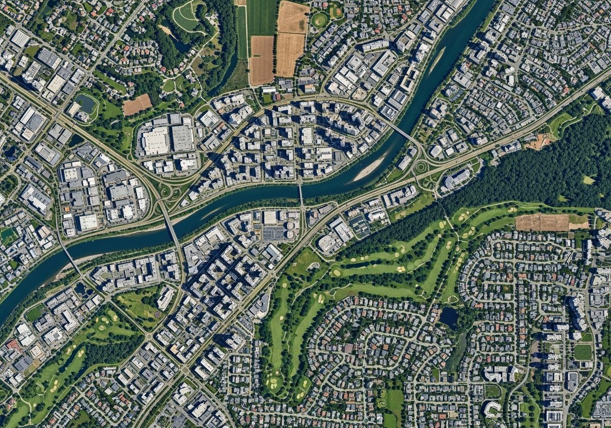
Aerial maps provide a unique perspective that traditional maps cannot match. By integrating high-resolution aerial imagery, users can explore locations in detail, visualize infrastructure, and understand spatial relationships. This is particularly useful in industries such as real estate, urban planning, and construction, where visual context is crucial. An interactive map for website integration allows users to zoom, pan, and explore different areas, providing an immersive experience that keeps them engaged.
Leveraging Data Integration for Informed Decision-Making
Data integration is key to unlocking the full potential of aerial maps. By overlaying data layers such as demographics, zoning information, and property values, you can create powerful analytical tools. This enables users to make informed decisions based on comprehensive information, all within a user-friendly interface. Whether it's identifying potential investment opportunities or assessing the impact of development projects, data-driven aerial maps provide valuable insights.
GIS Mapping System and Geographic Information Services
A GIS mapping system is essential for managing and analyzing spatial data. Integrating GIS capabilities into your web-marketing and proposal builder platforms allows you to create custom maps, perform spatial analysis, and generate reports. Geographic information services enable you to process, analyze, and visualize geographic data, making it easier to understand and communicate complex information. This is especially valuable for GIS urban planning, where data-driven decision-making is critical.
3D Map Rendering
3D map rendering takes aerial maps to the next level by providing a realistic and immersive view of the landscape. This is particularly useful for showcasing development projects, visualizing terrain, and creating engaging marketing materials. By integrating 3D rendering capabilities, you can create interactive experiences that capture the attention of potential clients and stakeholders.

Practical Applications
Integrating aerial maps and data into web-marketing and proposal builder platforms has numerous practical applications. For example, real estate companies can use interactive maps to showcase property locations, highlight nearby amenities, and provide detailed information about the surrounding area. Urban planners can use data-rich aerial maps to visualize development proposals, assess environmental impacts, and engage with the community. Construction companies can use 3D renderings to showcase project designs, plan logistics, and communicate progress to stakeholders.
Incorporating aerial maps and data into web-marketing and proposal builder platforms is a strategic move that enhances user engagement, provides valuable insights, and ultimately drives better decision-making. By leveraging technologies such as GIS, data integration, and 3D rendering, you can create powerful tools that set you apart from the competition. At Flyer View Group, LLC, we specialize in telling your story through data, maps, motion, and graphics. Our comprehensive, integrated marketing firm helps clients promote economic development vitality with turnkey solutions tailored to your needs. Contact us today to discover how we can help you transform your platforms and elevate your marketing efforts or learn more about our community profile products!