
In today's rapidly evolving world, new developments are constantly reshaping our landscapes. While progress is essential, it's equally crucial to understand and mitigate the environmental impact of these projects. Fortunately, advancements in technology offer powerful tools for assessing and visualizing potential consequences. One such tool is 3D rendering, a technique that's transforming how we approach environmental impact assessments.
Visualizing the Unseen With 3D Rendering
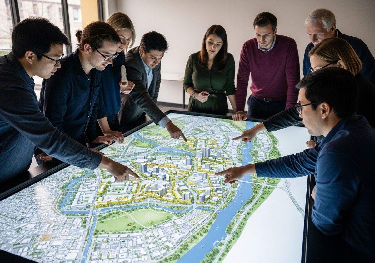
Environmental impact assessments (EIAs) traditionally rely on reports, data, and 2D maps to convey information. However, these methods can sometimes fall short in effectively communicating the full scope of a project's potential effects. This is where 3D rendering shines. By creating realistic, interactive visualizations, 3D rendering brings proposed developments to life, allowing stakeholders to see and understand the potential environmental consequences in a clear and intuitive way. Whether you need a 3D map rendering of a new construction project, or a GIS mapping system for a new pipeline, 3D rendering can help.
Applications of 3D Rendering in Environmental Impact Assessment
Visual Impact Analysis: 3D renderings can illustrate how a new development will alter the existing landscape, affecting viewsheds, scenic resources, and overall aesthetic quality. This is especially useful in evaluating the impact on protected areas, historic sites, and residential communities.
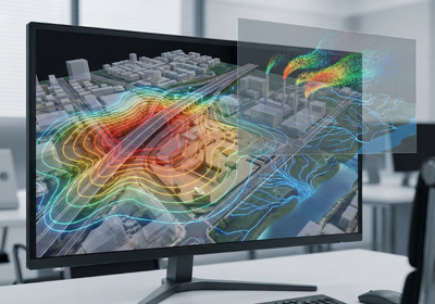
Hydrological Modeling: By integrating hydrological data with 3D models, developers can visualize how a project might affect water flow, drainage patterns, and flood risks. This allows for the design of mitigation measures to minimize potential impacts on water resources.
Noise and Air Quality Modeling: 3D renderings can be used to depict the dispersion of noise and air pollutants, helping to identify areas that may be disproportionately affected. This information can then be used to implement strategies for reducing pollution levels and protecting public health.
Habitat Assessment: 3D models can be overlaid with habitat maps to assess the potential impact of a development on wildlife and biodiversity. This allows for the identification of critical habitats and the implementation of measures to protect or restore them.
The Role of Geographic Information Services (GIS)
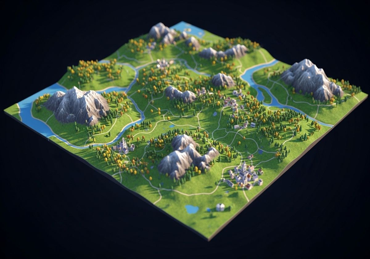
Geographic information services (GIS) play a crucial role in creating accurate and informative 3D renderings for environmental impact assessments. GIS data, including elevation models, land cover maps, and infrastructure data, provides the foundation for building realistic and spatially accurate 3D models. GIS urban planning utilizes these interactive map for website platforms to create a more interactive and intuitive experience for the user.
Benefits of Using 3D Rendering in EIAs
Improved Communication: 3D renderings facilitate communication between developers, regulators, and the public, ensuring that all stakeholders have a clear understanding of the potential environmental impacts.
Enhanced Decision-Making: By providing a more comprehensive and visually compelling representation of potential impacts, 3D rendering enables more informed decision-making regarding project design, mitigation measures, and permit approvals.
Increased Public Engagement: 3D renderings can be used to create interactive presentations and virtual tours, allowing the public to explore proposed developments and provide feedback. This fosters greater transparency and collaboration in the planning process.
3D rendering is a powerful tool for assessing and communicating the environmental impact of new developments. By providing realistic and interactive visualizations, it enhances communication, facilitates informed decision-making, and promotes greater public engagement. At Flyer View Group, LLC, we understand the importance of clear communication and data-driven insights. We are a comprehensive, integrated marketing firm with more than 25 years’ experience, based in Frisco, Texas. We help clients promote the economic development vitality of their community and/or projects by telling their story through data, maps, motion and graphics, and our GIS mapping system services, among others, can help you visualize your project's impact. Contact us today to learn more about how our services can benefit your next project. Be sure to check out our Community Profiles to see examples of our work!