Telling Your Story Through Data, Maps, Motion & Graphics

Story Maps
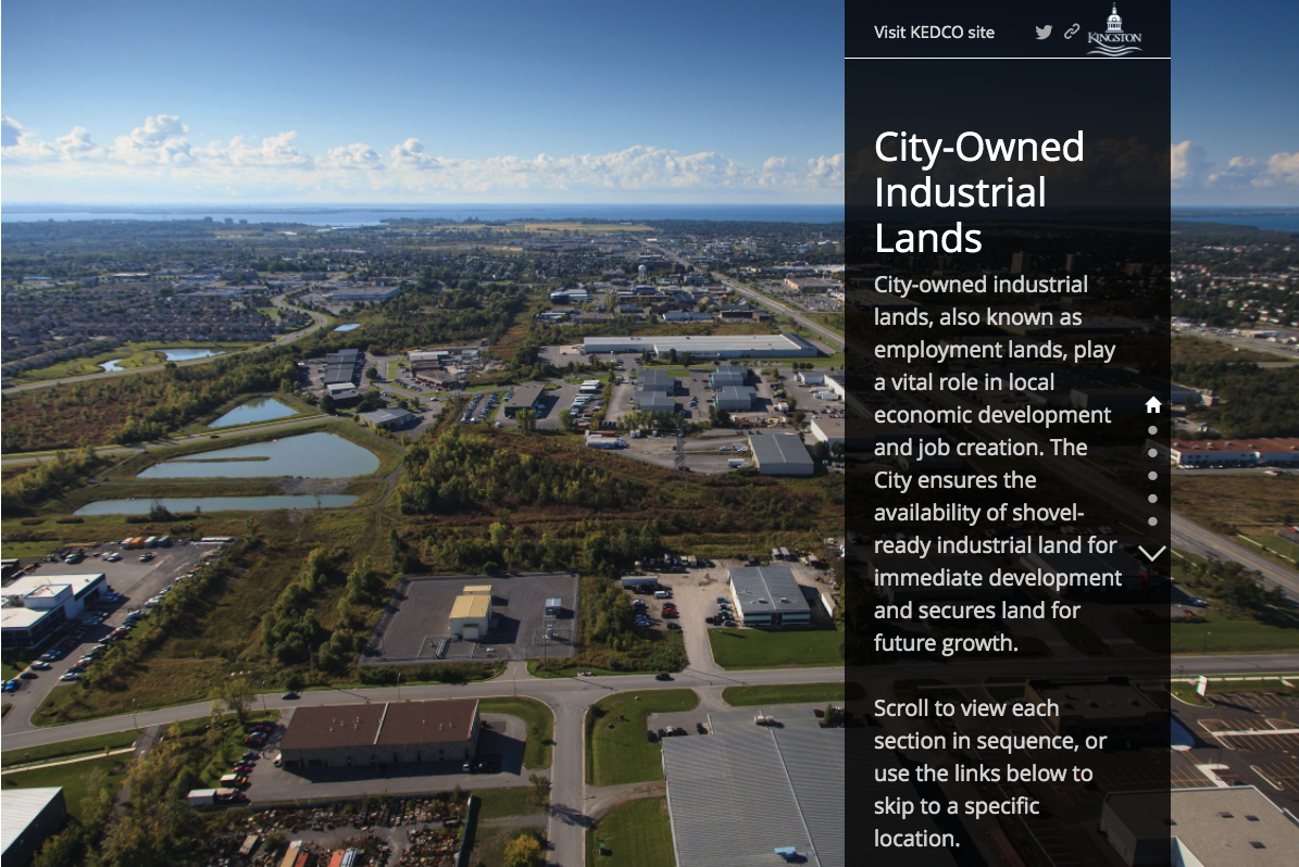
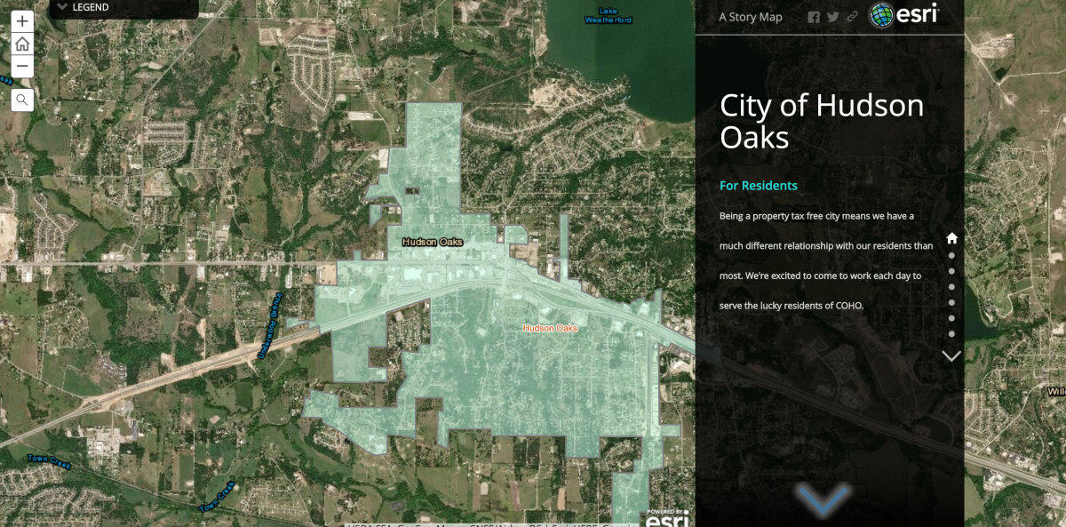
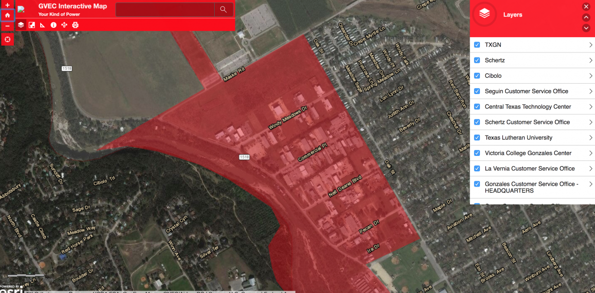
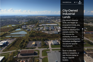
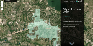
Interactive maps create immersive experiences that take maps from a static view to an opportunity for your potential clients to explore your area. Flyer View Group can add enhanced details so new perspectives spring from the map as you zoom in, search, and interact with the data layers you choose.
There are many ways to customize interactive maps. Here are several options:
With ESRI's story map module, the possibilities are endless.


Project Gallery


